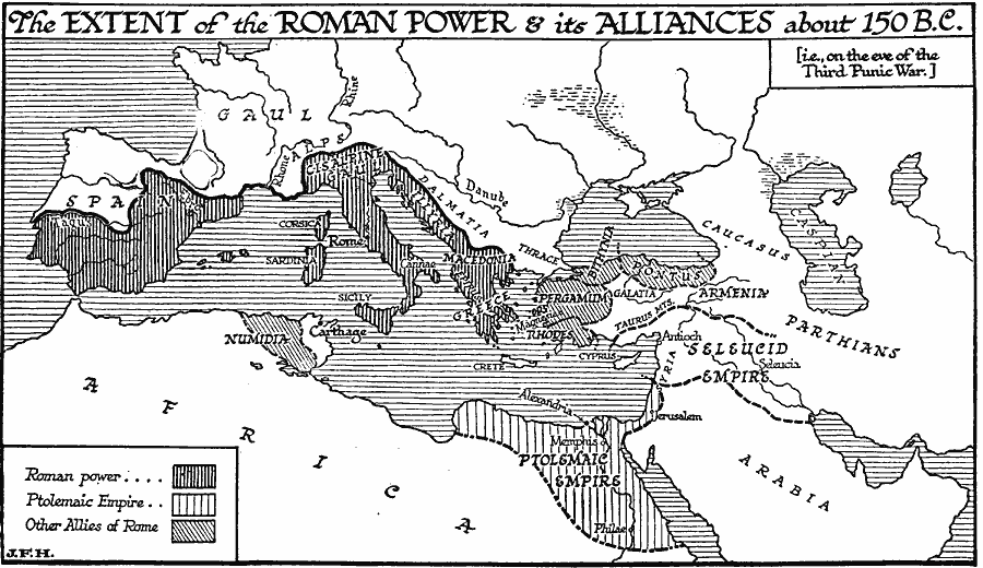
Description: A map showing the extent of the Roman Empire and its alliances on the eve of the Third Punic War (149–146 BC). The map shows the territories under direct Roman power, including southern Spain, Cisalpine Gaul, Illyria, Sicily, Sardinia, Corsica, Macedonia, Epirus, and Greece, the allied territory of the Ptolemaic Empire, and the other allied territories of western Numidia, Rhodes, Pergamum, Bithynia, and Pontus. The map also shows the extent of the Seleucid Empire and the territories of the Gauls, Carthaginians, and Parthians.
Place Names: Regional Mediterranean, Africa, �Europe, �Asi
ISO Topic Categories: political, �physical, kWorldMedSea, kWorldEurasia, kWorldEuroAfrica
Keywords: The Extent of Roman Power on the Eve of the Third Punic War, political, �physical, physical features, major political subdivisions, political, �physical, kWorldMedSea, kWorldEurasia, kWorldEuroAfrica, Unknown, 150 BC
Source: H. G. Wells, The Outline of History (New York, NY: The Macmillan Company, 1921) 414
Map Credit: Courtesy the private collection of Roy Winkelman |
|