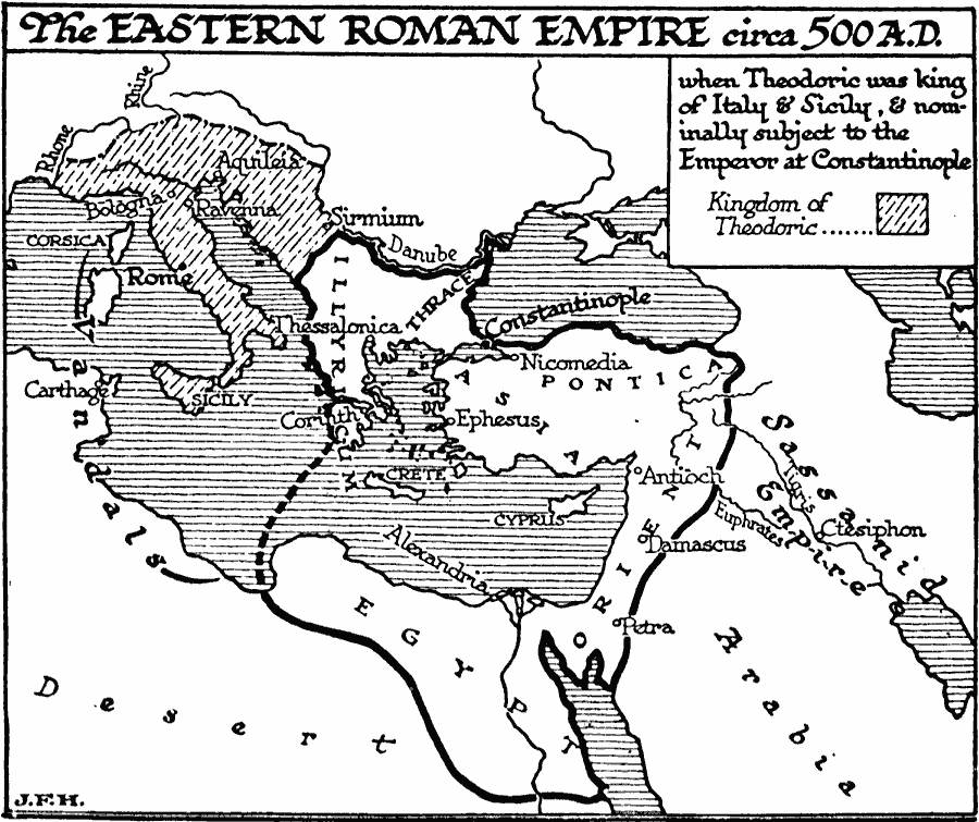
Description: A map showing the boundaries of the Eastern Roman Empire, or Byzantine Empire, under Justinian I around AD 500. The map shows the extent of the empire including Illyricum, Pontica, Egypt, and Asia Orient (Anatolia and Syria). The map also shows the territories of the Ostrogoth Theodoric the Great (Flavius Theodoricus), king of Italy and Sicily (493–526). The map shows important cities of the time, including Constantinople, Nicomedia, Ephesus, Antioch, Damascus, Petra, and Alexandria in the Byzantine Empire, Rome, Bologna, Ravenna, Aquileia, and Sirmium in Theodoric's Italy, Carthage in the territory of the Vandals, and Ctesiphon in the Sassanid Empire.
Place Names: Regional Mediterranean, Africa, �Asia, �Europ
ISO Topic Categories: physical, �political, kWorldMedSea, kWorldAfroAsia, kWorldEurasia
Keywords: Eastern Roman Empire, physical, �political, physical features, major political subdivisions, physical, �political, kWorldMedSea, kWorldAfroAsia, kWorldEurasia, Unknown, AD 500
Source: H. G. Wells, The Outline of History (New York, NY: The Macmillan Company, 1921) 488
Map Credit: Courtesy the private collection of Roy Winkelman |
|