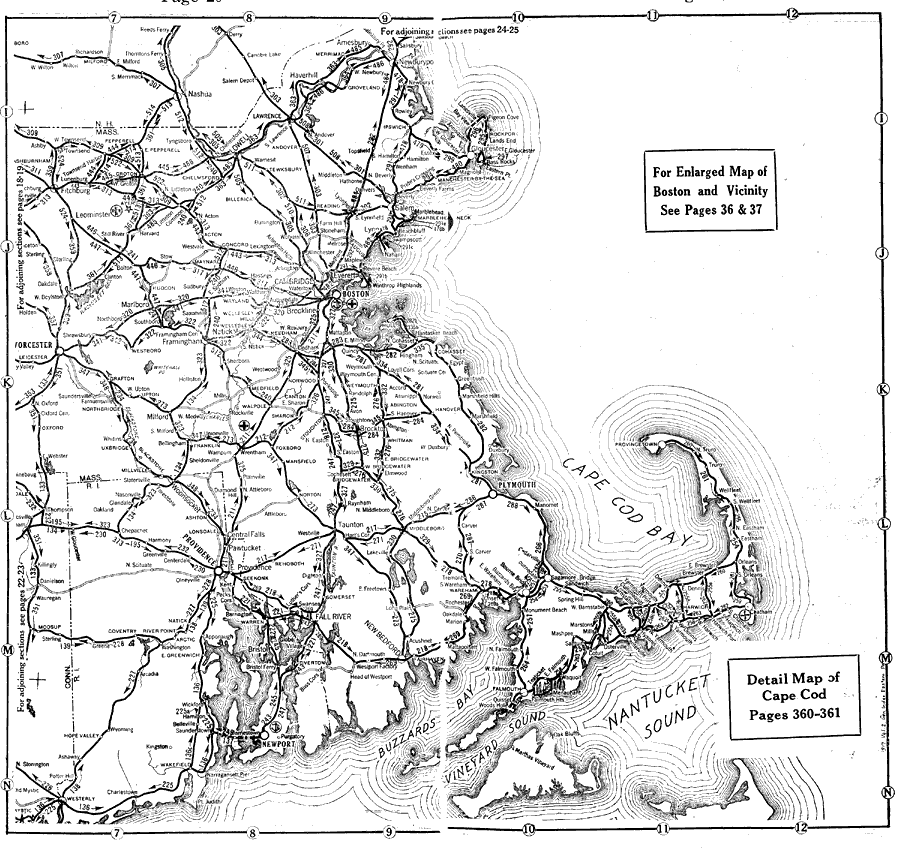
Description: A road map of eastern Massachusetts, Rhode Island, and Connecticut from the Official Automobile Blue Book (1919), showing major roads, cities, and towns in the area.
Place Names: Massachusetts, Cambridge, �Boston, �Cape Cod, �Lowel
ISO Topic Categories: boundaries,
transportation,
oceans,
location,
inlandWaters
Keywords: Eastern Massachusetts, political, �physical, �transportation, kAutomobile, physical features, major political subdivisions, roads, boundaries,
transportation,
oceans,
location,
inlandWaters, Unknown, 1919
Source: The Automobile Blue Book Company, Official Automobile Blue Book 1919 Vol 2 (New York, NY: The Automobile Blue Book Publishing Co., 1919) 20-21
Map Credit: Courtesy the private collection of Roy Winkelman |
|