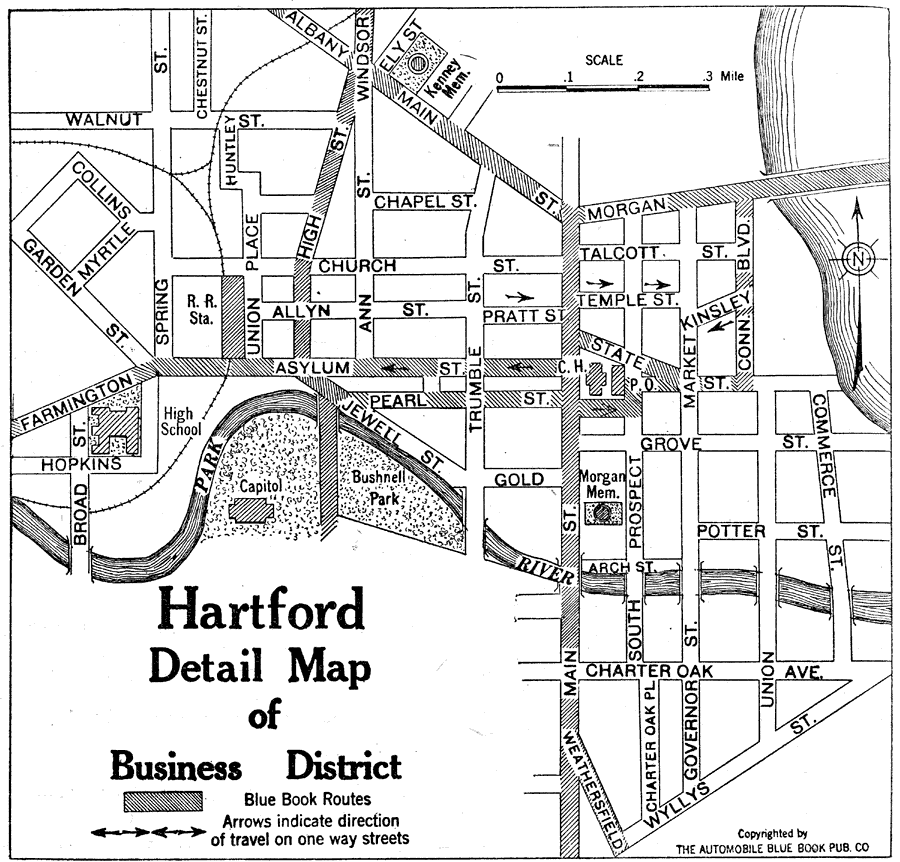
Description: A street map of the business district of Hartford Connecticut, from the Official Automobile Blue Book (1919), showing the Park River, Capitol building, the suggested Blue Book routes in the city, and the direction of travel on one–way streets.
Place Names: Connecticut, Hartfor
ISO Topic Categories: structure,
transportation,
location,
inlandWaters
Keywords: Hartford Business District, physical, �political, kAutomobile, physical features, local jurisdictions, structure,
transportation,
location,
inlandWaters, Unknown, 1919
Source: The Automobile Blue Book Company, Official Automobile Blue Book 1919 Vol 2 (New York, NY: The Automobile Blue Book Publishing Co., 1919) 298
Map Credit: Courtesy the private collection of Roy Winkelman |
|