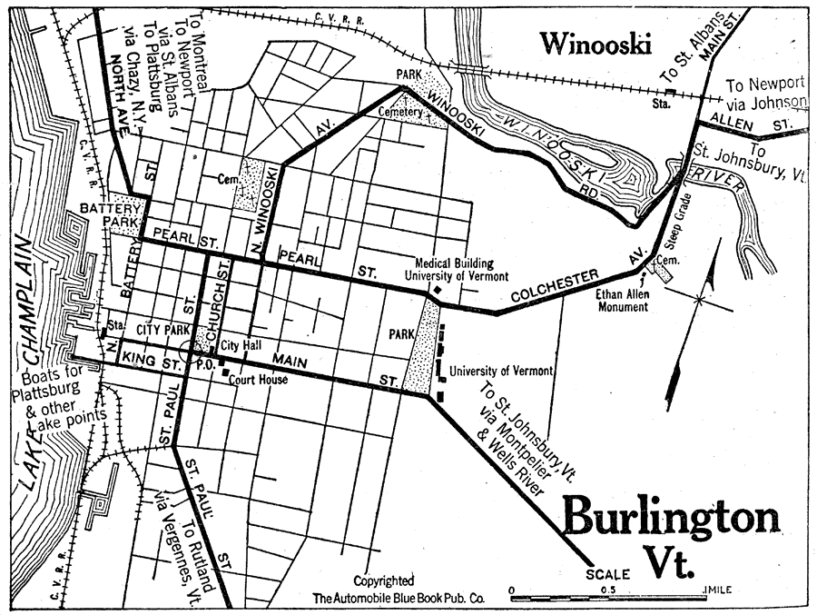
Description: A road map of Burlington, Vermont, from the Official Automobile Blue Book (1919), showing the Lake Champlain, principal roads, railroads and stations, parks, cemeteries, and major landmarks.
Place Names: Vermont, Burlingto
ISO Topic Categories: inlandWaters,
location,
transportation
Keywords: Burlington, physical, �political, �transportation, kAutomobile, physical features, local jurisdictions, roads,
railroads, inlandWaters,
location,
transportation, Unknown, 1919
Source: The Automobile Blue Book Company, Official Automobile Blue Book 1919 Vol 2 (New York, NY: The Automobile Blue Book Publishing Co., 1919) 838
Map Credit: Courtesy the private collection of Roy Winkelman |
|