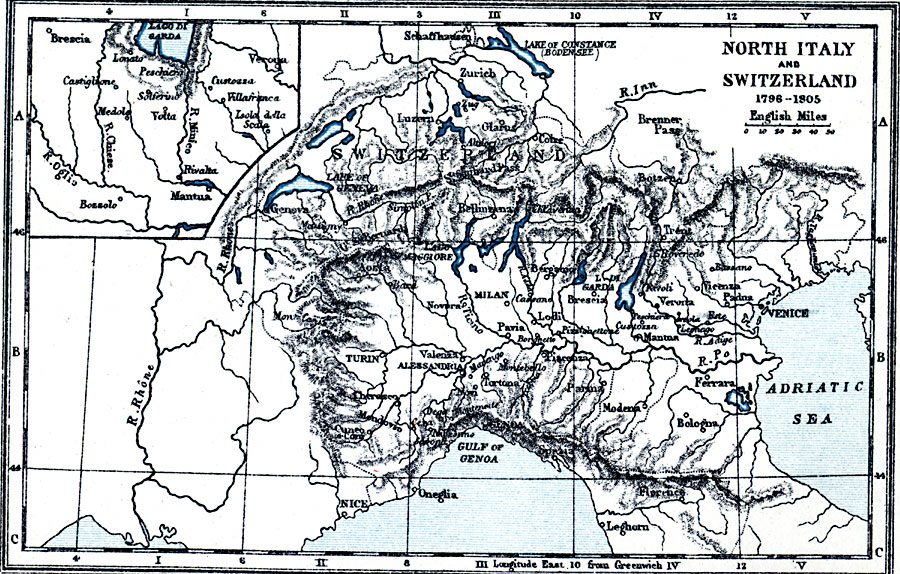
Description: A map of northern Italy and Switzerland during the Napoleonic Wars (1796–1805). The map shows terrain features, lakes, rivers, principal cities, and battle sites of the region. An inset map details the vicinity of Rivalta, Italy.
Place Names: Mediterranean Europe, Zurich, �Luzern, �Milan, �Turin, �Pavia, �Garda, �Modena, �Bologna, �Parma, �Leghorn, �Venice, �Manuta, �Italy, �Switzerlan
ISO Topic Categories: inlandWaters,
location,
boundaries,
oceans
Keywords: North Italy and Switzerland, physical, �political, �north italy and switzerland in 1796-1805, physical features, country borders, inlandWaters,
location,
boundaries,
oceans, Unknown, 1796–1805
Source: Samuel Rawson Gardiner D.C.L., L.L.D., School Atlas of English History (London, England: Longmans, Green, and Co., 1914) 53
Map Credit: Courtesy the private collection of Roy Winkelman |
|