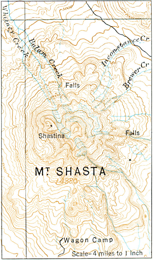
Description: A contour map from 1916 of Mt. Shasta, a volcanic mountain peak in Northern California. The map shows the radiating streams typical of this type of landform.
Place Names: California, Mount Shast
ISO Topic Categories: location,
inlandWaters
Keywords: Mount Shasta, physical, physical features, location,
inlandWaters, Unknown, 1916
Source: Albert Perry Brigham & Charles T. McFarlane, Essentials of Geography (New York, NY: American Book Company, 1916) 30
Map Credit: Courtesy the private collection of Roy Winkelman |
|