mapsMaps ETC Site map
 Maps ETC > United States > Texas > Texas and the New England States, 1916
Site Map 

Texas and the New England States, 1916

Texas and the New England States


Title: Texas and the New England States
Projection: Unknown,
Source Bounding Coordinates:
W: E: N: S:

Main Map Page
Zoomify Version
B/W PDF Version
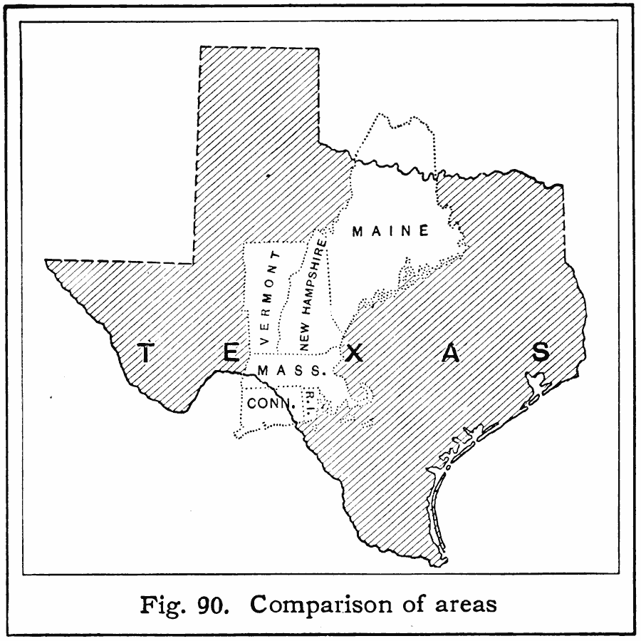
Description: A comparison of sizes between Texas and the New England states.
Place Names: Texas, Texas, New Englan
ISO Topic Categories: location, boundaries
Keywords: Texas and the New England States, political, major political subdivisions, location, boundaries, Unknown, 1916
Source: Albert Perry Brigham & Charles T. McFarlane, Essentials of Geography (New York, NY: American Book Company, 1916) 58
Map Credit: Courtesy the private collection of Roy Winkelman
SearchLicensePDF HelpGIS Help Google Earth Help Zoomify Help

 Maps ETC > United States > Texas > Texas and the New England States, 1916
Site Map