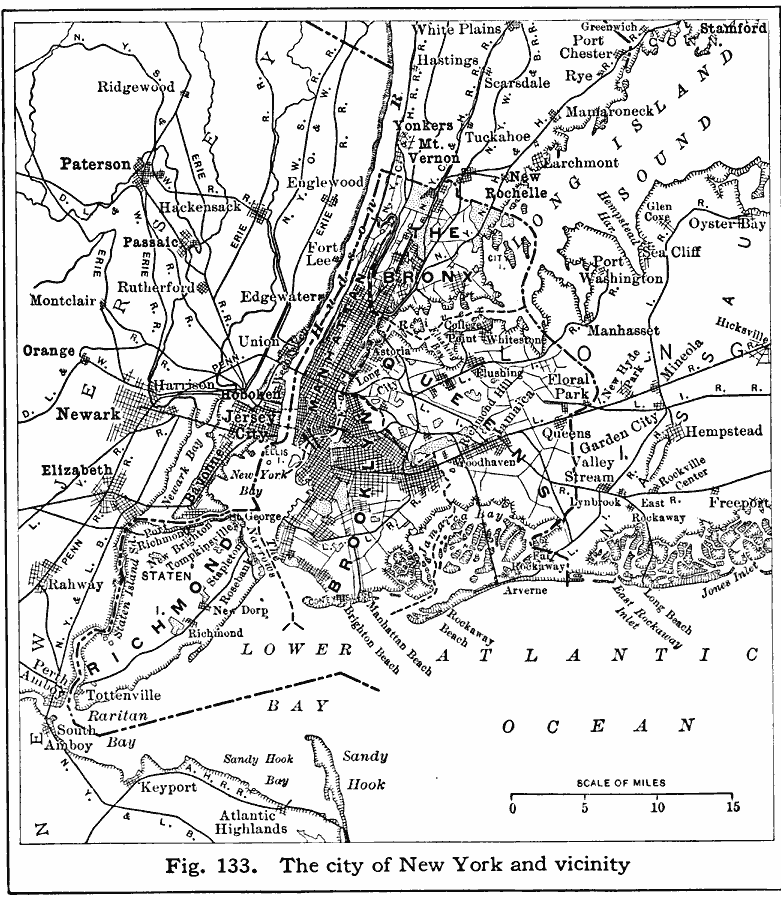
Description: A map from 1916 of New York City and its vicinity showing cities and towns, principal roads, and railroads.
Place Names: New York, New York City, �Newark, �Hoboken, �The Bronx, �Queens, �Brookly
ISO Topic Categories: transportation,
inlandWaters,
location,
oceans,
boundaries
Keywords: New York City and Vicinity, physical, �political, �transportation, physical features, local jurisdictions,
major political subdivisions, roads,
railroads, transportation,
inlandWaters,
location,
oceans,
boundaries, Unknown, 1916
Source: Albert Perry Brigham & Charles T. McFarlane, Essentials of Geography (New York, NY: American Book Company, 1916) 85
Map Credit: Courtesy the private collection of Roy Winkelman |
|