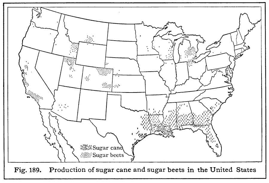
Description: A map from 1916 of the United States showing the sugar cane and sugar beet growing areas of the country. The map is keyed to distinguish the cane production from beet production.
Place Names: Agriculture, sugar beets, �sugar can
ISO Topic Categories: boundaries,
location,
farming
Keywords: Sugarcane and Sugar Beet Production, physical, �political, �statistical, kAgriculture, physical features, country borders,
major political subdivisions, agriculture, boundaries,
location,
farming, Unknown, 1916
Source: Albert Perry Brigham & Charles T. McFarlane, Essentials of Geography (New York, NY: American Book Company, 1916) 112
Map Credit: Courtesy the private collection of Roy Winkelman |
|