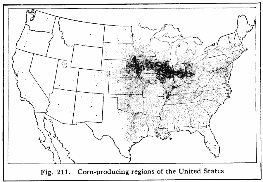
Description: A map from 1916 of the United States showing the corn growing and production region of the country.
Place Names: Agriculture, cor
ISO Topic Categories: boundaries,
farming,
location
Keywords: Corn–Producing Regions of the United States, physical, �political, �statistical, kAgriculture, physical features, country borders,
major political subdivisions, agriculture, boundaries,
farming,
location, Unknown, 1916
Source: Albert Perry Brigham & Charles T. McFarlane, Essentials of Geography (New York, NY: American Book Company, 1916) 138
Map Credit: Courtesy the private collection of Roy Winkelman |
|