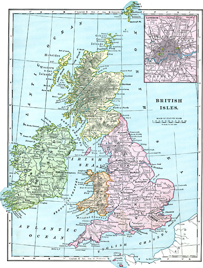
Description: A map of the British Isles from 1899, showing Ireland, Scotland, England, and Wales, with major cities, rivers, and terrain. An inset map shows London and vicinity.
Place Names: United Kingdom, England, �Ireland, �Scotland, �Shetland Islands, �Wale
ISO Topic Categories: oceans,
inlandWaters,
location
Keywords: British Isles, borders, �topographical, �physical, physical features,
topographical, country borders, oceans,
inlandWaters,
location, Unknown, 1899
Source: Horace S. Tarbell, LL.D. , The Complete Geography (New York, NY: American Book Company, 1899) 86
Map Credit: Courtesy the private collection of Roy Winkelman |
|