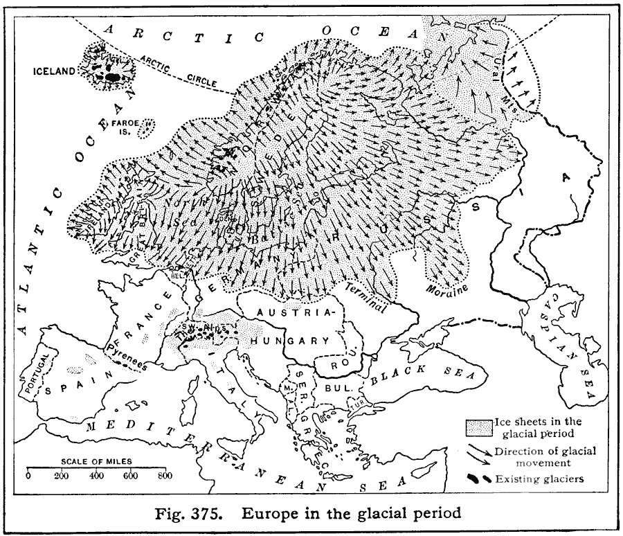
Description: A Map of Europe showing the extent of the ice sheets during the last glacial period, the flow direction of the ice, and the remnant glaciers found in Europe in 1916.
Place Names: A Complete Map of Europe, Portugal, �Spain, �Italy, �Germany, �France, �United Kingdom, �Swede
ISO Topic Categories: location,
oceans,
inlandWaters
Keywords: Europe During the Glacial Period, physical, �political, kGlacial, physical features, country borders, location,
oceans,
inlandWaters, Unknown, Glacial Period
Source: Albert Perry Brigham & Charles T. McFarlane, Essentials of Geography (New York, NY: American Book Company, 1916) 264
Map Credit: Courtesy the private collection of Roy Winkelman |
|