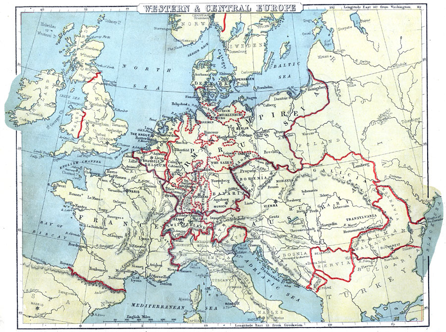
Description: A map from 1888 of Western and Central Europe, showing cities, capitals, rivers, mountain systems, and political boundaries of the region at the time, including the states of the German Empire.
Place Names: Western and Central Europe, France, �Ireland, �WAles, �Scotland, �England, �Spain, �Holland, �Belgium, �Switzerland, �Italy, �Tyrol, �Venetia, �Bavaria, �German Empire, �Bohemia, �Austri
ISO Topic Categories: boundaries,
inlandWaters,
location,
oceans
Keywords: Western and Central Europe, physical, �political, physical features, country borders, boundaries,
inlandWaters,
location,
oceans, Unknown, 1888
Source: , Cornell's Intermediate Geography (New York, NY: American Book Company, 1888) 60
Map Credit: Courtesy the private collection of Roy Winkelman |
|