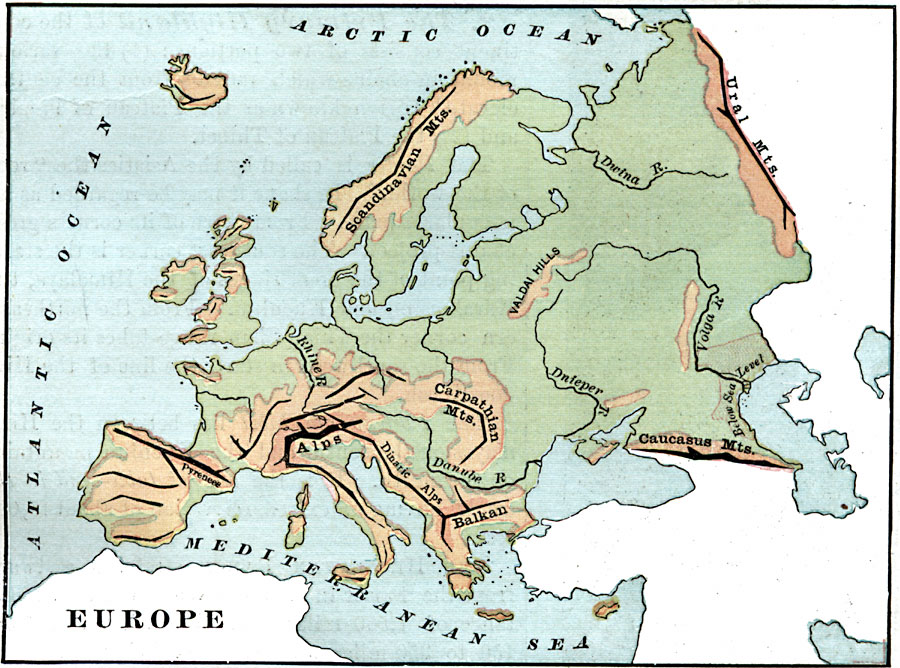
Description: A map of Europe showing major mountain ranges, rivers, and other landforms.
Place Names: A Complete Map of Europe, Scandinavian Mountains, �Pyrenees, �Alps, �Carpathian Mountains, �Balkan, �Caucasus Mountains, �Scandinavian Mountains, �Ural Mountain
ISO Topic Categories: elevation,
inlandWaters,
oceans
Keywords: Europe, physical, kRelief, physical features,
topographical, elevation,
inlandWaters,
oceans, Unknown, 1885
Source: M. F. Maury, Physical Geography (New York, New York: University Publishing Company, 1885) 33
Map Credit: Courtesy the private collection of Roy Winkelman |
|