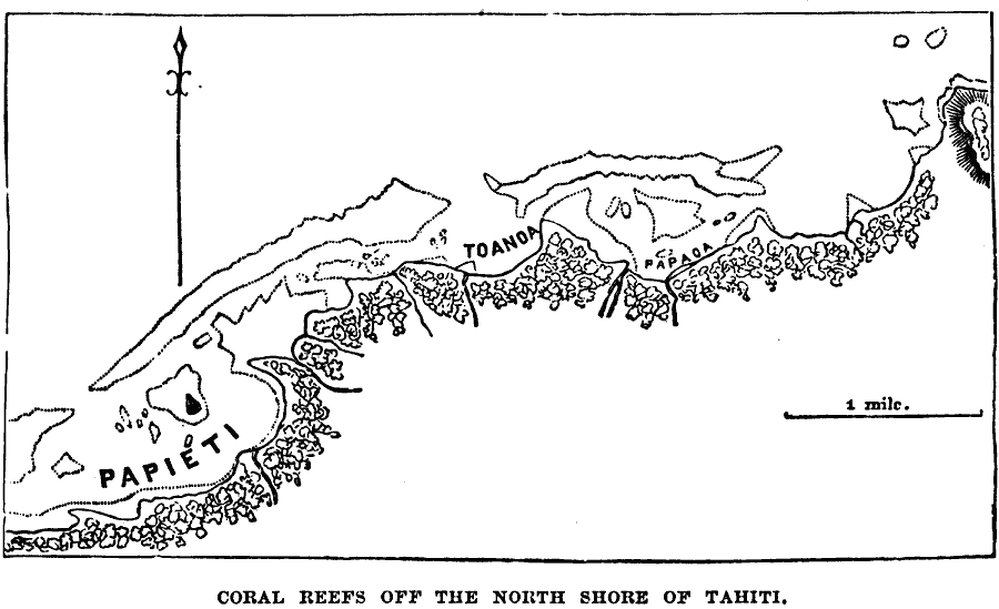
Description: A map of the reefs off the north shore of Tahiti from 1885. The map shows the towns of Papiete (Papeete), Toanoa, and Papaoa (Papava). This map is used to show the typical formation of coral islands.
Place Names: Regional Pacific Ocean, Tahiti, �Papieti, �Toanoa, �Papao
ISO Topic Categories: physical, kWorldPacific
Keywords: Tahiti Coral Reefs, physical, physical features, physical, kWorldPacific, Unknown, 1885
Source: M. F. Maury, Physical Geography (New York, NY: University Publishing Company, 1885) 39
Map Credit: Courtesy the private collection of Roy Winkelman |
|