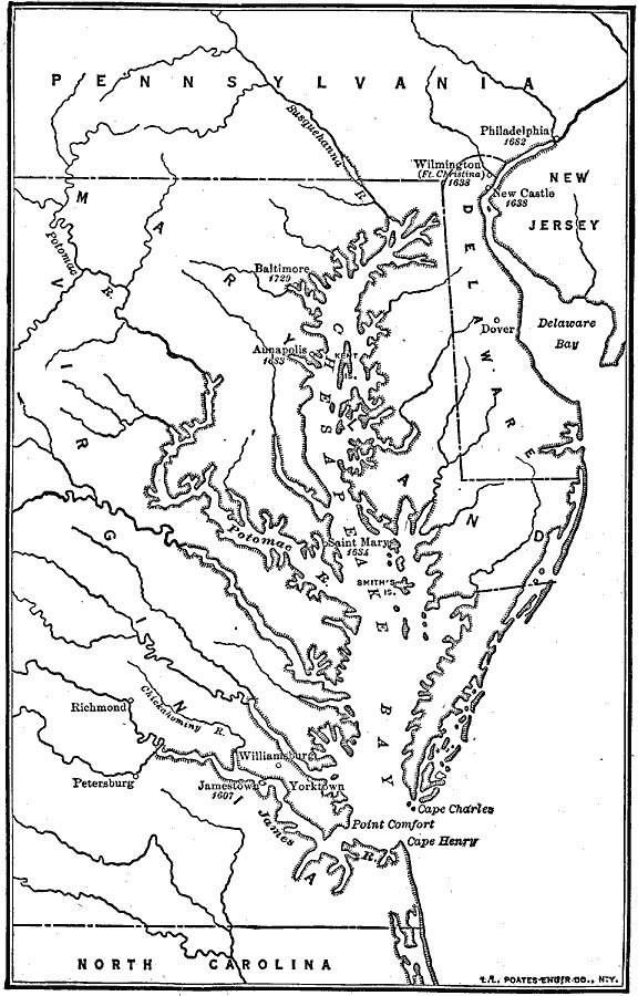
Description: The Chesapeake Bay Colonies.
Place Names: Early America 1400-1800, Philadelphia, �Wilmington, �Annapolis, �Baltimore, �Saint Mary, �Williamsburg, �Jamestown, �Yorktown, �Richmond, �Colonial America, �Chesapeake Bay, �New Jersey, �Maryland, �Pennsylvani
ISO Topic Categories: boundaries,
location,
oceans,
inlandWaters
Keywords: The Chesapeake Bay Colonies., physical, �political, physical features, major political subdivisions, boundaries,
location,
oceans,
inlandWaters, Unknown, 1607–1729
Source: Robert Hall, Harriet Smither, and Clarence Ousley, A History of the United States (Dallas, TX: The Southern Publishing Company, 1920) 38
Map Credit: Courtesy the private collection of Roy Winkelman |
|