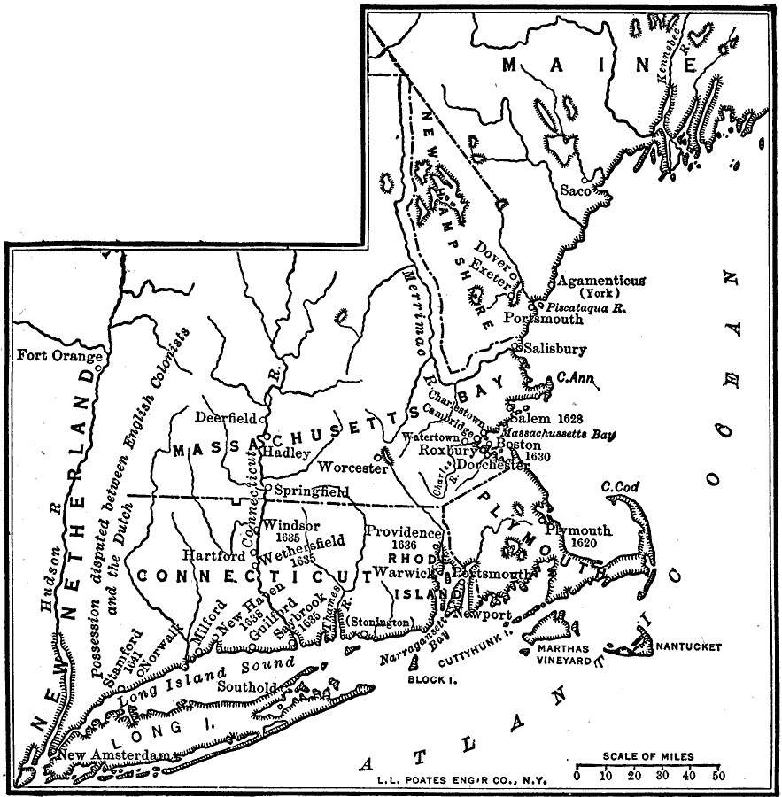
Description: A map of the New England Colonies showing the westward expansion of the Pilgrims from Plymouth (1620) to Stamford, Connecticut (1641). The map shows settlements in the area with dates of establishment given, colony boundaries, New Netherlands and the disputed territory between the Hudson River and the Connecticut River.
Place Names: Early America 1400-1800, New England, �Massachusetts Bay, �Connecticut, �Plymouth, �Maine, �New Hampshire, �Long Island, �Colonial America, �Englis
ISO Topic Categories: boundaries,
inlandWaters,
location,
oceans
Keywords: New England Colonies, physical, �political, physical features, major political subdivisions, boundaries,
inlandWaters,
location,
oceans, Unknown, 1620–1641
Source: Robert Hall, Harriet Smither, and Clarence Ousley, A History of the United States (Dallas, TX: The Southern Publishing Company, 1920) 65
Map Credit: Courtesy the private collection of Roy Winkelman |
|