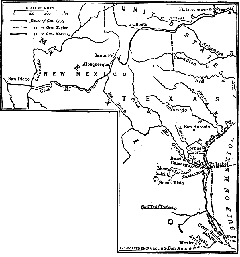
Description: A map of Texas, New Mexico, and northern Mexico showing the principal campaigns and battle sites of the Mexican–American War of 1846–1848.
Place Names: A Regional Map of North America, New Mexico, �Texas, �Gulf of Mexico, �Palo Alto, �Cerro Gordo, �Buena Vista, �San Diego, �Mexican American Wa
ISO Topic Categories: transportation,
location,
oceans,
inlandWaters,
boundaries
Keywords: War with Mexico, physical, �historical, physical features, other military, transportation,
location,
oceans,
inlandWaters,
boundaries, Unknown, 1846–1848
Source: Robert Hall, Harriet Smither, and Clarence Ousley, A History of the United States (Dallas, TX: The Southern Publishing Company, 1920) 299
Map Credit: Courtesy the private collection of Roy Winkelman |
|