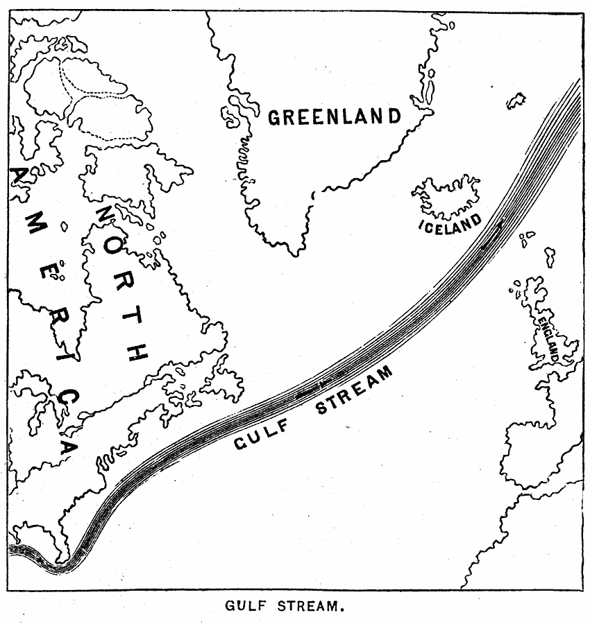
Description: The course of the Gulf Stream.
Place Names: Regional Atlantic Ocean, North America, �Europe, �Greenland, �England, �Icelan
ISO Topic Categories: physical, �political, �hydrological, kWorldAtlantic
Keywords: Gulf Stream, physical, �political, �hydrological, physical features, currents, physical, �political, �hydrological, kWorldAtlantic, Unknown, 1890
Source: John Brocklesby, Elements of Physical Geography (Philadelphia, Pennsylvania: E. H. Butler and Co., 1890) 83
Map Credit: Courtesy the private collection of Roy Winkelman |
|