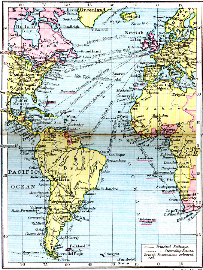
Description: The Atlantic Ocean and the surrounding lands.
Place Names: Regional Atlantic Ocean, Africa, �Europe, �North America, �South Americ
ISO Topic Categories: physical, �transportation, kWorldAtlantic
Keywords: The Atlantic Ocean, physical, �transportation, physical features, water routes, physical, �transportation, kWorldAtlantic, Unknown, 1920
Source: , Asprey's Atlas of the World (London, England: Asprey and Co., Ltd., 1920) 12
Map Credit: Courtesy the private collection of Roy Winkelman |
|