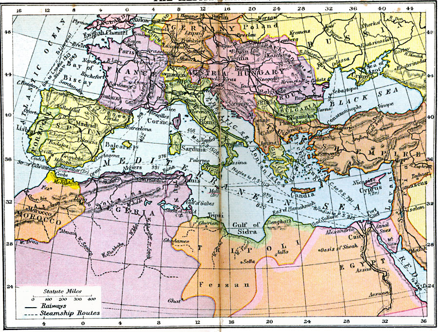
Description: The Mediterranean sea and surrounding lands, showing major railways and steamship routes.
Place Names: Regional Mediterranean, Africa, �Asia, �Europ
ISO Topic Categories: physical, �political, �transportation, kWorldMedSea, kWorldEurasia, kWorldAfroAsia, kWorldEuroAfrica
Keywords: Mediterranean Sea, physical, �political, �transportation, physical features, country borders, water routes,
railroads, physical, �political, �transportation, kWorldMedSea, kWorldEurasia, kWorldAfroAsia, kWorldEuroAfrica, Unknown, 1920
Source: , Asperity's Atlas of the World (London, England: Asprey and Co., Ltd., 1920) 16
Map Credit: Courtesy the private collection of Roy Winkelman |
|