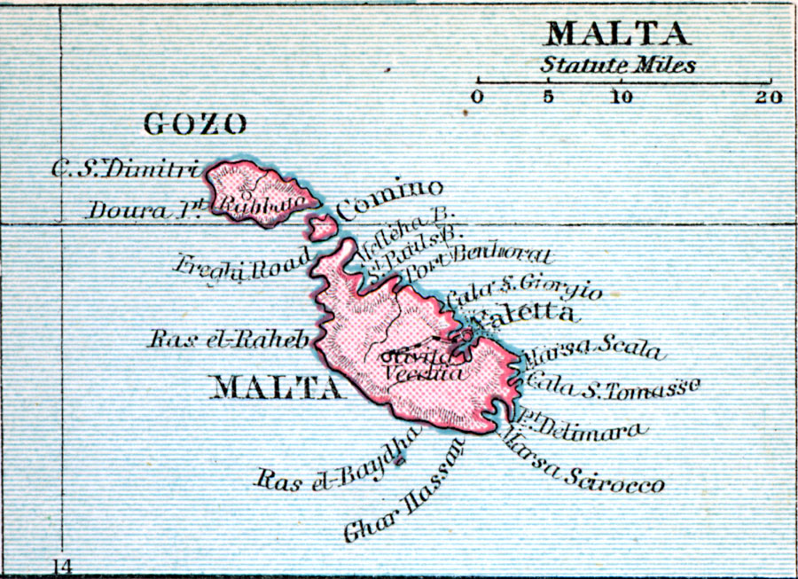
Description: A map of the Malta Archipelago islands of Malta, Comino, and Gozo in 1920, showing important cities, and the railway from the capital Valetta to Birkirkara.
Place Names: Malta, Valletta, �Raba
ISO Topic Categories: inlandWaters,
location,
oceans
Keywords: Malta, physical, physical features, inlandWaters,
location,
oceans, Unknown, 1920
Source: , Asprey's Atlas of the World (London, England: Asprey and Co., Ltd., 1920) 17
Map Credit: Courtesy the private collection of Roy Winkelman |
|