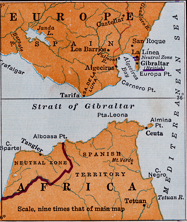
Description: The Strait of Gibraltar and bordering land masses. A principal railroad is included.
Place Names: Regional Mediterranean, Africa, �Europe, �Strait of Gibraltar, �Spain, �Mediteranean Sea,
ISO Topic Categories: physical, �political, �transportation, kWorldMedSea, kWorldEuroAfrica
Keywords: Strait of Gibraltar and Bordering Land Masses, physical, �political, �transportation, physical features, country borders, railroads,
water routes, physical, �political, �transportation, kWorldMedSea, kWorldEuroAfrica, 1920
Source: Wallace W. Atwood, New Geography: Book Two (Boston, Massachusetts: Ginn and Company, 1920) 208
Map Credit: Courtesy the private collection of Roy Winkelman |
|