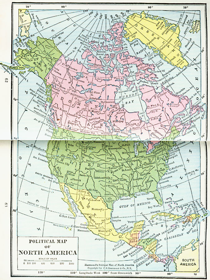
Description: A map from 1922 of North America, Central America, Greenland, and the Caribbean to Puerto Rico showing the political borders at the time, capitals and major cities, rivers, and coastal features.
Place Names: A Complete Map of North America, Bahamas, �Canada, �Cuba, �Mexico, �United State
ISO Topic Categories: boundaries,
inlandWaters,
location,
oceans
Keywords: North America, physical, �political, physical features, country borders, boundaries,
inlandWaters,
location,
oceans, Unknown, 1922
Source: , Putnam's Handy Map Book (New York, NY: G. P. Putnam's Sons, 1922) 62-63
Map Credit: Courtesy the private collection of Roy Winkelman |
|