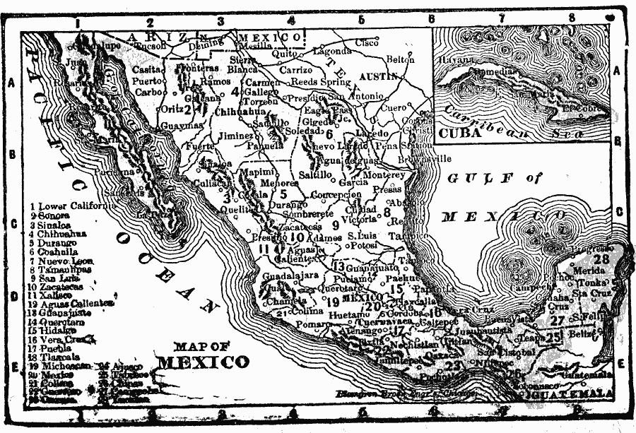
Description: A map from 1902 of Mexico showing the states, major cities and towns, railroads, mountains, and coastal features. An inset map shows the island of Cuba.
Place Names: Mexico, Acapulco, �Cancun, �La Paz, �Merida, �Mexico City, �Monterrey, �Salina Cruz, �Tampico, �Tijuana, �Veracru
ISO Topic Categories: oceans,
location,
inlandWaters
Keywords: Mexico, borders, �political, �physical, country borders, oceans,
location,
inlandWaters, Unknown, 1902
Source: , The New Conklin's Handy Manual of Useful Information and Atlas of the World (Chicago, IL: The Christian Herald, 1902) 335
Map Credit: Courtesy the private collection of Roy Winkelman |
|