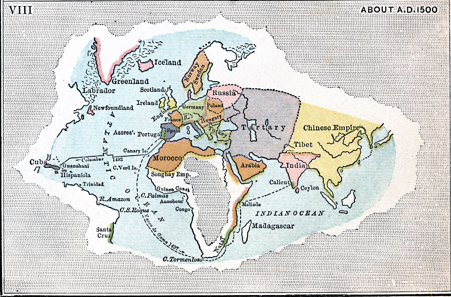
Description: Showing the progress of Geographical Knowledge in 1500.
Place Names: Regional Miscellaneous, Africa, �Asia, �Europe, �North America, �South Americ
ISO Topic Categories: physical, �transportation, �vasco de gama, �columbus, kWorldAtlantic, kWorldEurasia, kWorldEuroAfrica
Keywords: Exploration, physical, �transportation, �vasco de gama, �columbus, �country borders, water routes, physical, �transportation, �vasco de gama, �columbus, kWorldAtlantic, kWorldEurasia, kWorldEuroAfrica, Unknown, 1500
Source: John Clark Ridpath, L.L. D, Cyclopedia of Universal History (Cincinnati, OH: The Jones Brothers Publishing Co., 1885) 567
Map Credit: Courtesy the private collection of Roy Winkelman |
|