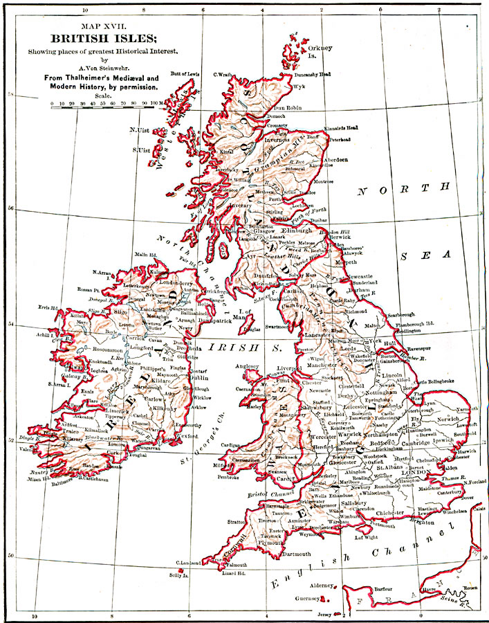
Description: British Isles, Showing places of greatest Historical Interest
Place Names: United Kingdom, London, �Glasgow, �Plymouth, �Newcastle, �Manchester, �Londonderry, �Bristol, �Dundee, �Edinborough, �Falmout
ISO Topic Categories: boundaries,
inlandWaters,
location,
oceans
Keywords: The British Isles, political, country borders, boundaries,
inlandWaters,
location,
oceans, Unknown, 1885
Source: John Clark Ridpath, L.L. D, Cyclopedia of Universal History (Cincinnati, OH: The Jones Brothers Publishing Co., 1885) 752
Map Credit: Courtesy the private collection of Roy Winkelman |
|