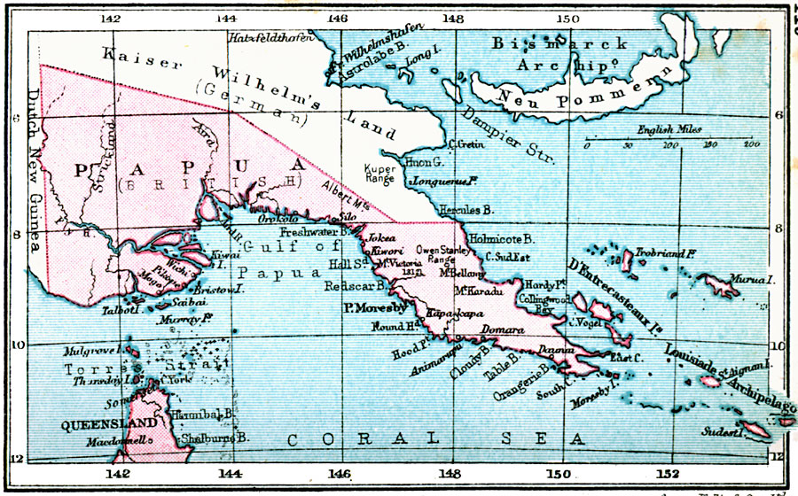
Description: A map from 1920 showing the British territorial claim in Papua New Guinea at the time. The map shows the boundaries with Dutch New Guinea and the German territory of Kaiser Wilhelm's Land, major cities, towns, and ports, rivers, and coastal features.
Place Names: Papua New Guinea, Papua, �Queensland, �Moresby, �Port Moresb
ISO Topic Categories: boundaries,
inlandWaters,
location,
oceans
Keywords: British New Guinea, physical, �political, physical features, country borders, boundaries,
inlandWaters,
location,
oceans, Unknown, 1920
Source: , Asprey's Atlas of the World (London, England: Asprey and Co., Ltd., 1920) 119
Map Credit: Courtesy the private collection of Roy Winkelman |
|