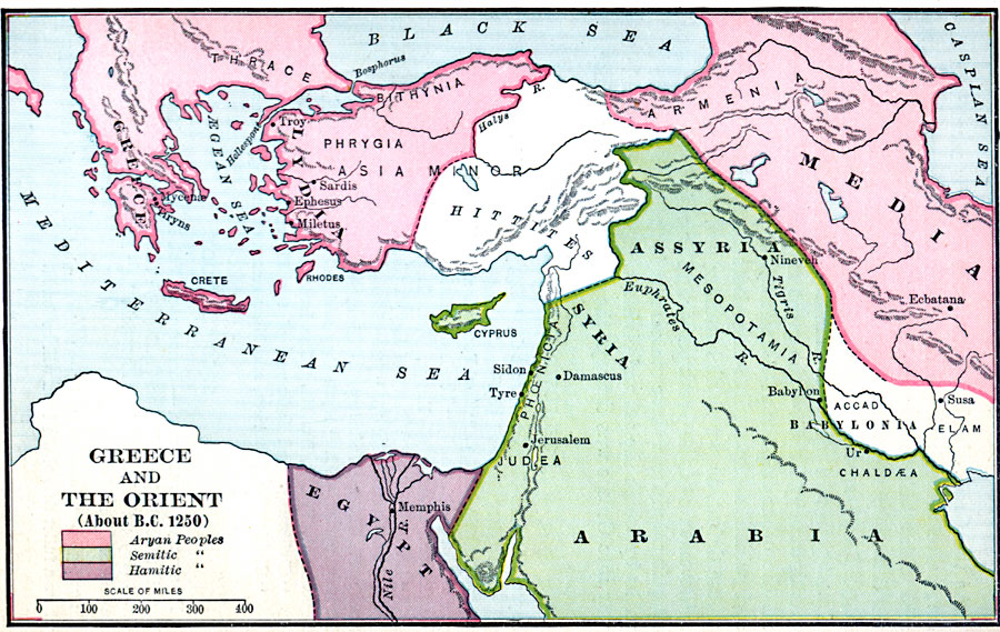
Description: Map showing Greece and the Orient.
Place Names: Regional Mediterranean, Arabia, �Egypt, �Greece, �Lydia, �Media,
ISO Topic Categories: borders, �political, kWorldMedSea, kWorldEurasia, kWorldAfroAsia
Keywords: Greece and the Orient, borders, �political, major political subdivisions, borders, �political, kWorldMedSea, kWorldEurasia, kWorldAfroAsia, Unknown, 1250 B.C.
Source: William C. Morey, Outlines in Greek History with a survey of Ancient Oriental Nations (New York, NY: The Athenium Press, 1908) 68
Map Credit: Courtesy the private collection of Roy Winkelman |
|