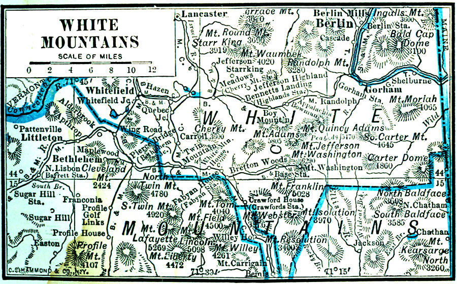
Description: A map from 1922 of the White Mountains region in New Hampshire, showing county lines, principal towns, mountains, and rivers.
Place Names: New Hampshire, Berlin, �Littleton, �Gorham, �Lancaster, �Whitefield, �Bethlehem,
ISO Topic Categories: boundaries,
location,
inlandWaters
Keywords: White Mountains, physical, physical features, boundaries,
location,
inlandWaters, Unknown, 1922
Source: , Putnam's Handy Map Book (New York, NY: G. P. Putnam's Sons, 1922) 247
Map Credit: Courtesy the private collection of Roy Winkelman |
|