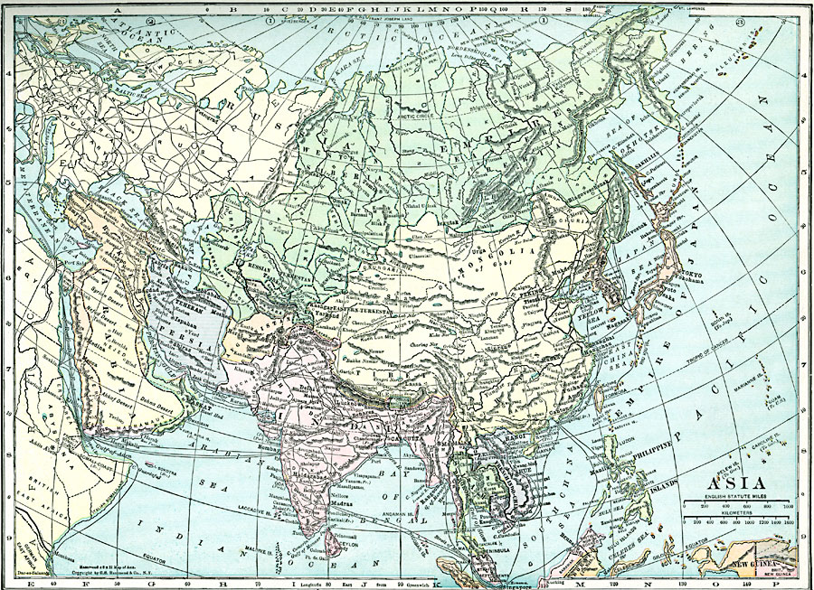
Description: A map of Asia from 1920 showing country boundaries at the time, foreign possessions, major cities, rivers, lakes, terrain, and coastal features. This map shows the principal railways of the region with connections to Europe, and steamship trade routes.
Place Names: A Complete Map of Asia, India, �Japan, �China, �Mongolia, �Phillipines, �Russia, �Persia, �Arabia, �Turkey, �Afghanistan, �Oman, �Siam, �French Indo-China, �Chosen, �Tibet,
ISO Topic Categories: boundaries,
location,
inlandWaters,
oceans
Keywords: Asia, physical, physical features, boundaries,
location,
inlandWaters,
oceans, Unknown, 1920
Source: , Hammond's Modern Atlas of the World (New York, NY: C. S. Hammond and Company, Inc., 1920) 53
Map Credit: Courtesy the private collection of Roy Winkelman |
|