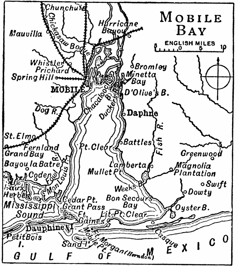
Description: A map of Mobile Bay from 1909 showing the city of Mobile and neighboring towns, the railroads, rivers, Dauphine Island, Fort Gaines, and Fort Morgan (Herndon) at the mouth of the bay.
Place Names: Alabama, Daphne, �Dauphine, �Mobil
ISO Topic Categories: oceans,
location,
inlandWaters
Keywords: Mobile Bay, borders, �political, �transportation, country borders, water routes, oceans,
location,
inlandWaters, Unknown, 1909
Source: Chandler B. Beach, A.M. (ed.), The New Student's Reference Work for Teachers, Students, and Families (vol. III) (Chicago, IL: F.E. Compton and Co. , 1909) 1244
Map Credit: Courtesy the private collection of Roy Winkelman |
|