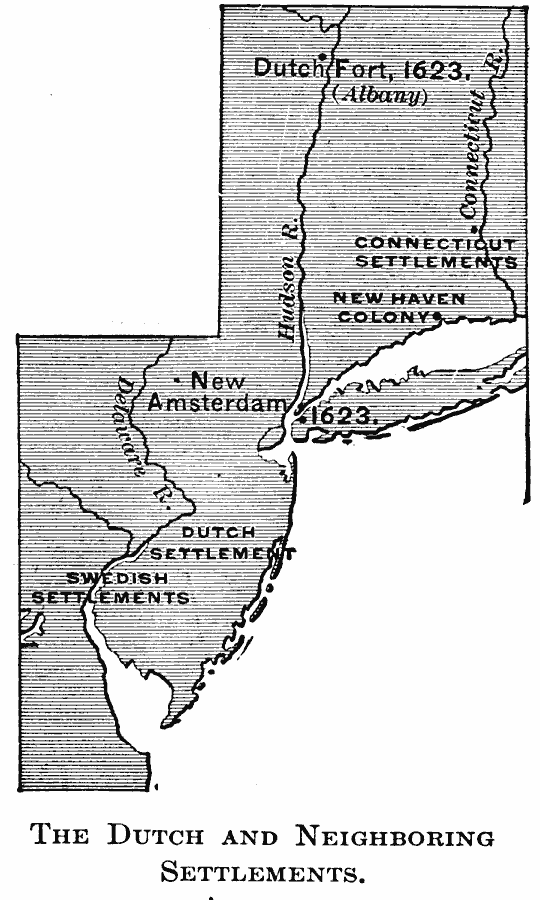
Description: A map of New Netherlands in the 1600's showing New Amsterdam and Dutch Fort (Albany) established in 1623, the English Settlements on the Connecticut River (Hartford) and the New Haven Colony, and the southern Dutch and Swedish settlements on the Delaware Bay and Delaware River.
Place Names: Early America 1400-1800, Connecticut, �New Amsterdam, �New Haven, �Dutch, �Colonial Americ
ISO Topic Categories: oceans,
location,
inlandWaters
Keywords: Dutch and Neighboring settlements, borders, country borders, oceans,
location,
inlandWaters, Unknown, 1600s
Source: Gertrude van Duyn Southworth, A First Book in American History (New York, NY: D. Appleton and Co. , 1907) 76
Map Credit: Courtesy the private collection of Roy Winkelman |
|