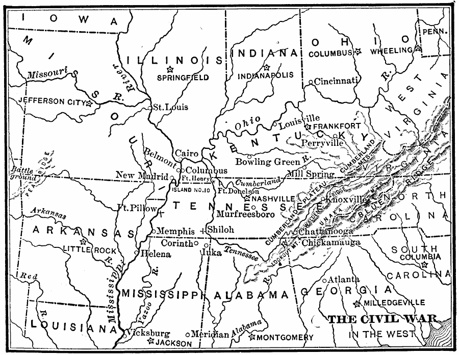
Description: A map of the Western seat of war during the American Civil War, showing state boundaries and capitals, major cities, forts, battle sites, mountain systems, and rivers in the area.
Place Names: Civil War, Arkansas, �Illinois, �Indiana, �Kentucky, �Ohio, �Tennessee, �Virginia, �West Virginia, �West, �Wester
ISO Topic Categories: oceans,
location,
inlandWaters
Keywords: The Civil War in the West, borders, �political, �historical, country borders, historical event, oceans,
location,
inlandWaters, Unknown, 1861–1865
Source: Gertrude van Duyn Southworth, A First Book in American History (New York, NY: D. Appleton and Co. , 1907) 299
Map Credit: Courtesy the private collection of Roy Winkelman |
|