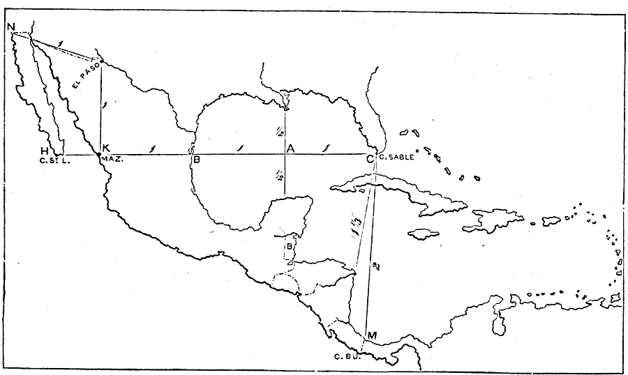
Description: A map exercise from 1872 for drawing Mexico and Central America. The map shows the general outline of the coasts, major waters and rivers.
Place Names: A Regional Map of North America, Mexico, �Cuba, �Bahamas, �Central America,
ISO Topic Categories: boundaries,
location,
inlandWaters
Keywords: Drawing Mexico and Central America, kMapSkills, physical features, boundaries,
location,
inlandWaters, Unknown, 1872
Source: James Monteith, Comprehensive Geography (New York, NY: A. S. Barnes and Company, 1872) 50
Map Credit: Courtesy the private collection of Roy Winkelman |
|