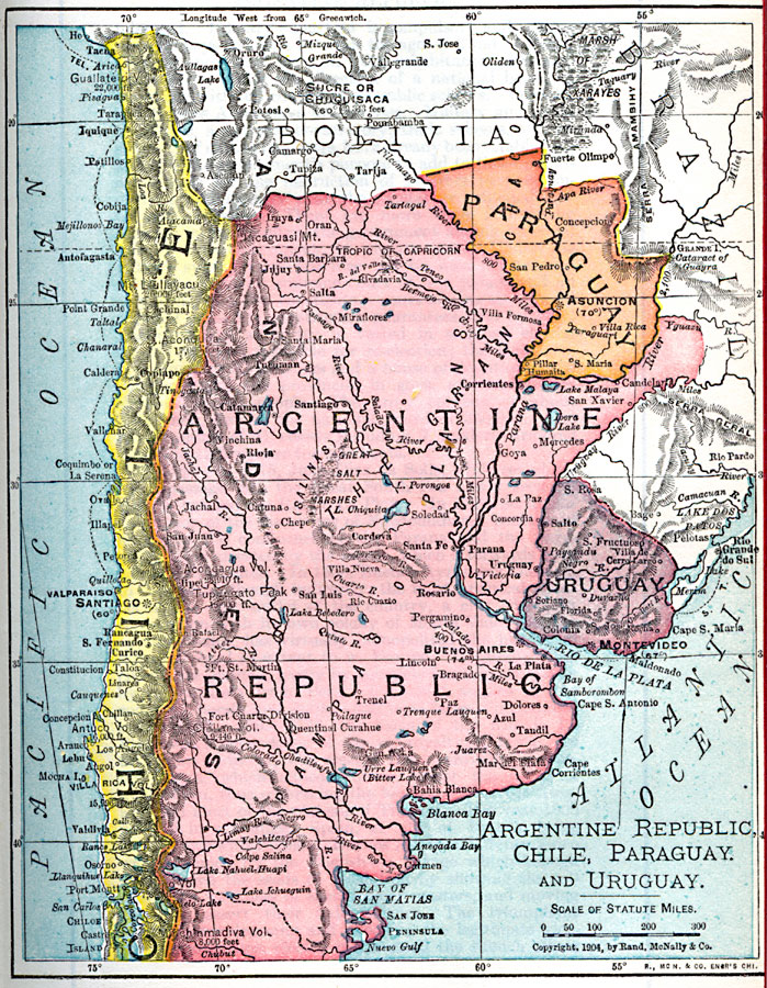
Description: A map from 1904 of the Argentine Republic, Chile, Paraguay, and Uruguay. This map shows capital cities, major towns, ports, rivers, terrain, and coastal features. The map shows mean annual temperatures for selected cities, elevations for major peaks and volcanoes given in feet above sea level, navigable river lengths given in miles, submarine telegraph routes, and physical features such as marshes, deserts, and pampas.
Place Names: A Regional Map of South America, Argentina, �Chile, �Paragua
ISO Topic Categories: oceans,
location,
inlandWaters
Keywords: Argentine Republic, Chile, Paraguay, and Uruguay, borders, �political, country borders, oceans,
location,
inlandWaters, Unknown, 1904
Source: George Edwin Rines, ed., The United Editors Perpetual Encyclopedia (New York, NY: United Editors Association, 1911)
Map Credit: Courtesy the private collection of Roy Winkelman |
|