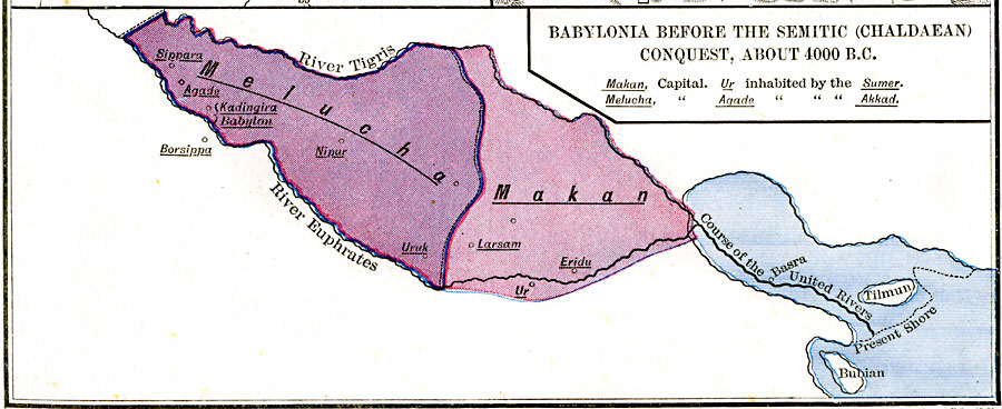
Description: Babylonia before the semitic (Chaldaean) conquest, about 4000 B.C. — New Historical Atlas and General History, 1886
Place Names: A Regional Map of Asia, Melucha,
Makan,
River Tigris,
River Euphrates,
ISO Topic Categories: boundaries,
location,
inlandWaters
Keywords: Babylonia Before the Semitic Conquest, physical, physical features, county borders, boundaries,
location,
inlandWaters, Unknown, 4000 B.C.
Source: Robert H. Labberton, New Historical Atlas and General History (New York, New York: Townsend Mac Coun, 1886)
Map Credit: The Private Collection of Roy Winkelman |
|