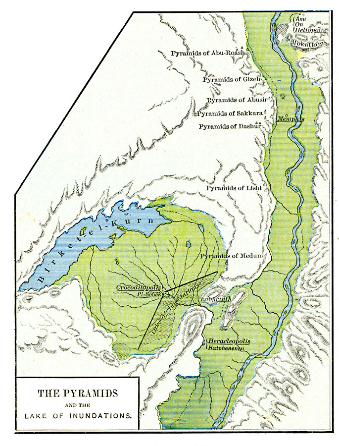
Description: A detail map of the portion of the Nile River near Memphis and Heracleopolis with its numerous pyramids and the Lake of Inundations during the twelfth dynasty, about 2100 BC. The map shows important historical cities and sites of the time using name forms (hieroglyphic, cuneiform, biblical, classical, and modern) where appropriate.
Place Names: Egypt, Heracleopoli
ISO Topic Categories: oceans,
location,
inlandWaters
Keywords: The Pyramids and the Lake of Inundations, borders, oceans,
location,
inlandWaters, Unknown, about 2100 BC
Source: Robert H. Labberton, New Historical Atlas and General History (New York, NY: Townsend MacCoun, 1886) Plate II
Map Credit: Courtesy the private collection of Roy Winkelman |
|