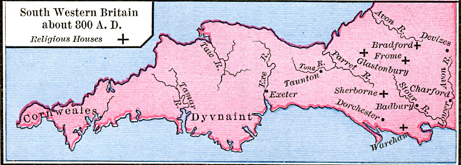
Description: A map of southwestern Britain in AD 800, showing the area around Somerset, Dorset, Dyvnaint (Devon), and Cornweals (Cornwall). The map shows the religious houses of Bradford, Frome, Glastonbury, Sherborne, and Wareham, and the towns of Exeter, Taunton, Dorchester, Badbury, Charford, and Devizes. The rivers Tamar, Taw, Exe, Tone, Parret, Stour, Avon, and Lower Avon are also shown.
Place Names: United Kingdom, Cornweales, �Dorchester, �Dyvnaint, �Exeter, �Glastonbury,
ISO Topic Categories: oceans,
location,
inlandWaters
Keywords: Religeous Houses of South Western Britain, borders, oceans,
location,
inlandWaters, Unknown, AD 800
Source: Robert H. Labberton, New Historical Atlas and General History (New York, NY: Townsend MacCoun, 1886) Plate XXVI
Map Credit: Courtesy the private collection of Roy Winkelman |
|