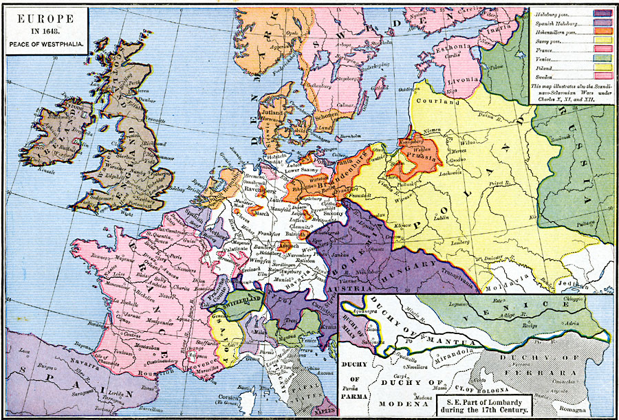
Description: A map of Europe in 1648, subtitled "Peace of Westphalia." The map is color–coded to show the various territorial possessions, including the Habsburg, Spanish Habsburg, Hohenzollern, and Savoy possessions, France, Venice, Poland, and Sweden. The map illustrates the Scandinavo–Sclavonian Wars under Charles X, XI, and XII. The inset map details the southeast part of Lombardy in the 17th Century, showing the partial territories of southern Venice, Duchy of Mantua, Duchy of Milan, Duchy of Parma, Duchy of Modena, the City of Bologna, and the Duchy of Ferrara. Major rivers and important cities of the time are shown.
Place Names: Western and Central Europe, Bohemia, �Denmark, �Holland, �Hungary, �Ireland, �Prussia, �Russia, �Scotland, �Swede
ISO Topic Categories: oceans,
location,
inlandWaters,
boundaries
Keywords: Europe, borders, �political, �country borders, oceans,
location,
inlandWaters,
boundaries, Unknown, 1648
Source: Robert H. Labberton, New Historical Atlas and General History (New York, NY: Townsend MacCoun, 1886) Plate XLV
Map Credit: Courtesy the private collection of Roy Winkelman |
|