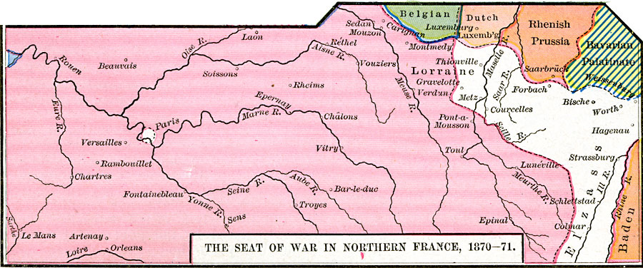
Description: A map showing the seat of war in Northern France during the Franco–Prussian War, 1870–1871. This map is color–coded to show the territories of France in pink, and portions of Elzass (Alsace), Belgian territory, Dutch territory, Rhenish Prussia, Bavarian Palatinate, and Baden. The map shows major cities, towns, and rivers of the region.
Place Names: France, Lorraine, �Verdun, �Versailles, Paris
ISO Topic Categories: oceans,
location,
inlandWaters,
boundaries
Keywords: The Seat of War in Northern France, borders, �political, �historical, country borders, other military, oceans,
location,
inlandWaters,
boundaries, Unknown, 1870–1871
Source: Robert H. Labberton, New Historical Atlas and General History (New York, NY: Townsend MacCoun, 1886) Plate LIII
Map Credit: Courtesy the private collection of Roy Winkelman |
|