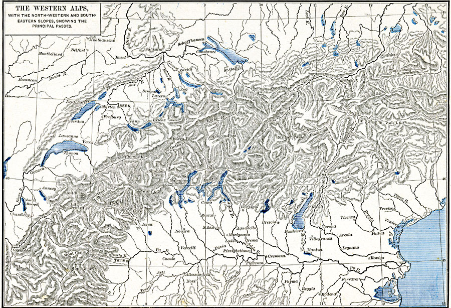
Description: A map from 1886 of the western Alps region of Europe showing the northwestern and southeastern slopes, and the principal passes. This map shows portions of France, Germany, Austria, Italy, and all of Switzerland, illustrating the natural barrier to travel and trade presented by the Alps, and the importance of the passes, including Little St. Bernard and Great St. Bernard, Simplon, St. Gothard, Furca, Splugen, Stilfser, and Thurn passes. The map shows important cities, towns, and ports, rivers, lakes, valleys, and mountain systems in the region.
Place Names: Western and Central Europe, Basel, �Bern, �Geneva, �Lausanne, �Milan, �Zuric
ISO Topic Categories: oceans,
location,
inlandWaters
Keywords: The Western Alps with the Northwestern and Southeastern slopes, borders, oceans,
location,
inlandWaters, Unknown, 1886
Source: Robert H. Labberton, New Historical Atlas and General History (New York, NY: Townsend MacCoun, 1886)
Map Credit: Courtesy the private collection of Roy Winkelman |
|