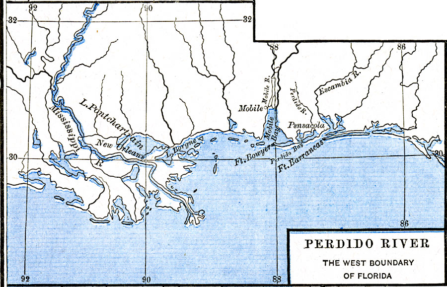
Description: A map of the Perdido River area, including Mobile Bay, Pensacola, and the Mississippi Delta. The Perdido River was the disputed boundary of West Florida between the United States and Spain, resolved in 1819 when Spain ceded Florida under the Adams–Onís Treaty.
Place Names: Growth of Nation, Fort Bowyer, �Mobile, �New Orleans, �Pensacola, ��West Florida, �War of 181
ISO Topic Categories: oceans,
location,
inlandWaters
Keywords: The Perdido River, borders, �historical, other military, oceans,
location,
inlandWaters, Unknown, 1790–1842
Source: Robert H. Labberton, New Historical Atlas and General History (New York, NY: Townsend MacCoun, 1886) Plate LXVIII
Map Credit: Courtesy the private collection of Roy Winkelman |
|