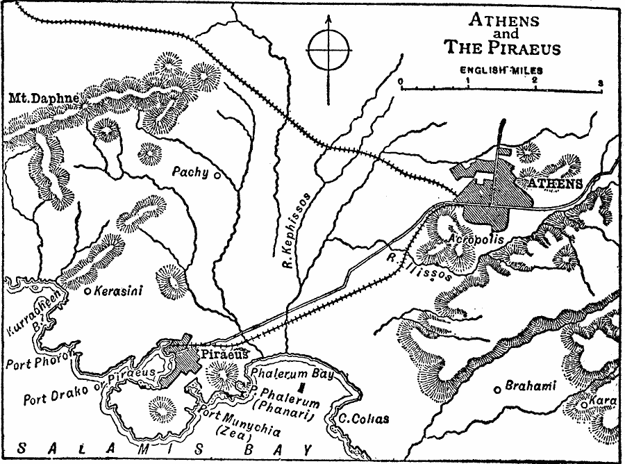
Description: A map of Athens and the Piraeus.
Place Names: Greece, Athens, �Pachy, �Acropolis, �Braham
ISO Topic Categories: inlandWaters,
location,
structure
Keywords: Athens and the Piraeus, physical, physical features, inlandWaters,
location,
structure, Unknown, 459–431 BC
Source: Chandler B. Beach, A.M., The New Student's Reference Work for Teachers Students and Families Vol 1 (Chicago, IL: F. E. Compton and Company, 1909) 130
Map Credit: Courtesy the private collection of Roy Winkelman |
|