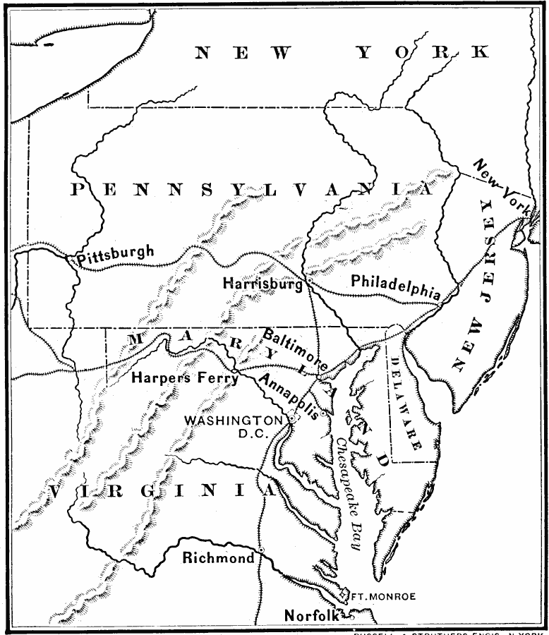
Description: A map of the vicinity of Washington in 1860, just prior to the American Civil War, showing the principal railroad routes to the city from Richmond, Baltimore, Philadelphia, and New York.
Place Names: Atlantic States, Washington D.C., �Baltimore, �Annapolis, �Harrisburg, �Pittsburgh, �New York, �Atlantic State
ISO Topic Categories: boundaries,
location,
oceans,
inlandWaters,
transportation,
intelligenceMilitary
Keywords: Approach to Washington, physical, �transportation, �historical, physical features, railroads,
water routes, Civil War, boundaries,
location,
oceans,
inlandWaters,
transportation,
intelligenceMilitary, Unknown, 1860
Source: E. Benjamin Andrews, History of the United States (New York, NY: Charles Scribner's Sons, 1895) 340
Map Credit: Courtesy the private collection of Roy Winkelman |
|