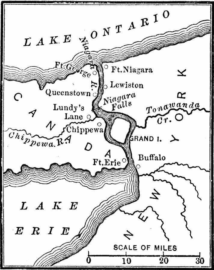
Description: A map of the Niagara River between Lake Erie and Lake Ontario during the War of 1812 (1812–1815), showing the forts Erie, George, and Niagara, and the towns and battle sites of Lewiston, Queenstown, Lundy's Lane, Chippewa, and Buffalo.
Place Names: A Regional Map of North America, United States, �Canad
ISO Topic Categories: inlandWaters,
boundaries,
location,
oceans,
intelligenceMilitary
Keywords: Niagara River during the War of 1812, physical, �political, �War of 1812, physical features, country borders, other military, inlandWaters,
boundaries,
location,
oceans,
intelligenceMilitary, Unknown, 1812–1814
Source: Charles Kendall Adams, A History of the United States (Boston, MA: Allyn and Bacon, 1909) 229
Map Credit: Courtesy the private collection of Roy Winkelman |
|