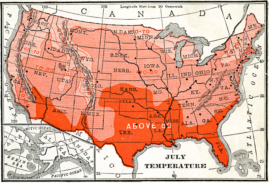
Description: A map from 1906 of the United States showing average temperatures for the month of July, given in degrees Fahrenheit.
Place Names: Meteorology, temperatur
ISO Topic Categories: boundaries,
climatologyMeteorologyAtmosphere,
inlandWaters,
location,
oceans
Keywords: Temperatures in the United States, physical, �meteorological, kClimate, physical features, temperature, boundaries,
climatologyMeteorologyAtmosphere,
inlandWaters,
location,
oceans, Unknown, 6/30/1902
Source: Alexis Everett Frye, Frye's First Steps in Geography (Boston, MA: Ginn and Company, 1906) 55
Map Credit: Courtesy the private collection of Roy Winkelman |
|