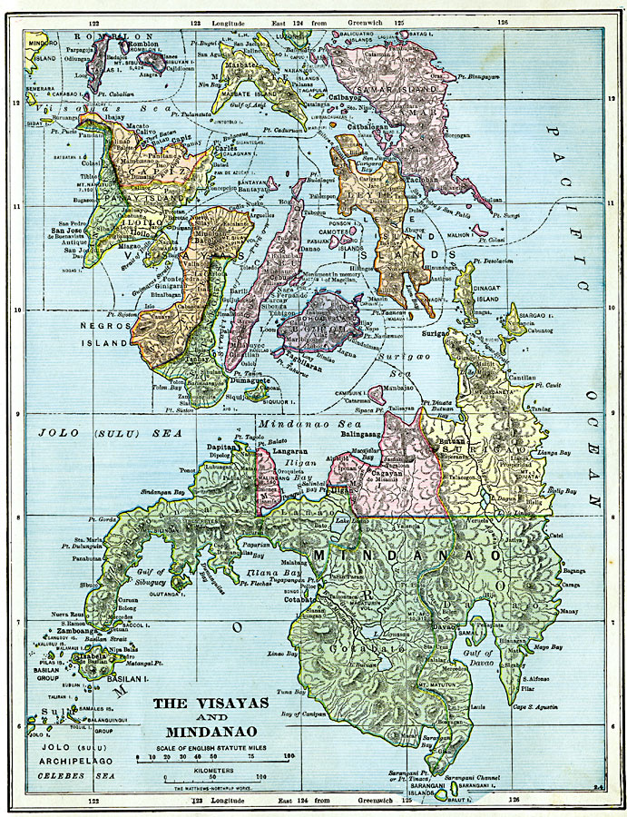
Description: A map from 1906 of the central portion of the Philippine Island group, showing the Visayas and Mindanao islands. The map is color–coded to show the provinces at the time, province capitals and other cities, terrain, lakes, rivers, smaller islands, and coastal features.
Place Names: Philippines, Butuan, �Cagatab de Misamis, �Isabela, �Bohol, �Leyte Island, �Samar Island, �Masbate, �Negros Island, �Panay Island,�Romblon,
ISO Topic Categories: boundaries,
location,
inlandWaters,
oceans
Keywords: Visayas and Mindanao, physical, physical features, boundaries,
location,
inlandWaters,
oceans, Unknown, 1906
Source: Alexis Everett Frye, Frye's First Steps in Geography (Boston, MA: Ginn and Company, 1906) 119
Map Credit: Courtesy the private collection of Roy Winkelman |
|