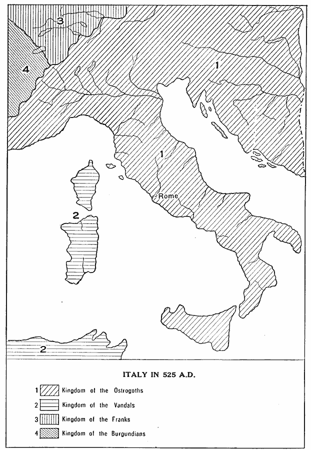
Description: A map of Italy at the time of Ostrogoth rule under Theodoric the Great (AD 454–526) after the fall of the Western Roman Empire. This map shows the extent of the Kingdom of the Ostrogoths, Kingdom of the Vandals (Corsica and Sardinia), and portions of the kingdoms of the Franks and Burgundians.
Place Names: Italy, Rome, �Kingdom of the Ostrogoths, �Kingdom of the Vandals, �Kingdom of the Franks, �Kingdom of the Burgundian
ISO Topic Categories: oceans,
location,
inlandWaters,
boundaries
Keywords: Italy, physical, �political, �historical, physical features, country borders, oceans,
location,
inlandWaters,
boundaries, Unknown, AD 525
Source: L. P. Benezet, The Story of the Map of Europe (Chicago, Illinois: Scott, Foresman and Company, 1916) 114
Map Credit: Courtesy the private collection of Roy Winkelman |
|